CAD Drafting

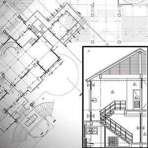
Scan to CAD Drafting The demand for Cad Drafting services has been so high these days because it takes very less time, and there is also less chance of error of the measurement of the site. On-site conventional measurement takes a long time for generating the data of structures. Point cloud to CAD modeling shows…
Oil and Gas

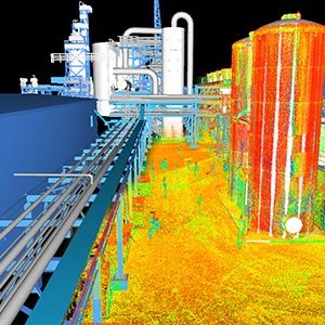
Oil and Gas UniqueMaps provides 3D laser scanning, 3D modeling, design, and drafting services with the related industrial engineering applications to the construction, and oil and gas sectors. Every scan precisely locates/positions millions of data points within a given space.  The 3D point cloud that is established can be navigated, drafted, and modeled in commonly…

Engineering

Engineering Building Information Modeling (BIM) is an intelligent, 3D model-based process that helps MEP professionals design, detail, document, and fabricate building systems more efficiently. With BIM, project teams improve collaboration, share data, and speed up project delivery from design to construction. BIM is a process that is fundamentally changing the role of computation in structural…

Construction

Construction The construction industry is quickly moving towards a more BIM-focused approach, with more and more professionals starting to understand the benefits of this technology. So, adopting BIM and using an intuitive platform, like bimspot, can contribute to greater success. Better planning with more detailed insights allows contractors to deliver higher quality. Due to architects…

Architecture

Architecture Building Information Modeling (BIM) is a process that improves how architects and engineers design and construct buildings. With BIM authoring tools, architects can create a digital 3D model of the building, allowing them to see a representation of what it will look like and how it will operate.              By itself, BIM allows architects to push the…

Orthophoto

Orthophoto An orthophoto is an aerial photograph/satellite images/drone images or images geometrically corrected (orthorectified”) such that the scale is uniform: the photo has the same lack of distortion as a map. The objective of orthophoto generation is, therefore, to eliminate any distortions owing to camera tilt and ground relief, thereby maintaining the scene/image’s actual dimensions.…

LiDAR

LiDAR LiDAR, short for Light Detection and Ranging is an active, remote sensing method used for an array of applications. It uses light in the form of a pulsed laser to measure ranges through vegetation to the Earth.  The system is able to capture accurate surface data by measuring the time it takes for the…