LiDAR
LiDAR, short for Light Detection and Ranging is an active, remote sensing method used for an array of applications. It uses light in the form of a pulsed laser to measure ranges through vegetation to the Earth.
The system is able to capture accurate surface data by measuring the time it takes for the laser to return to its source.
We are known for the quality and accuracy of our lidar data.
LiDAR services we offer:
- Flightline Matching
- DTM Editing/Ground Classification
- Advance Classification
- Contour Generation and Editing
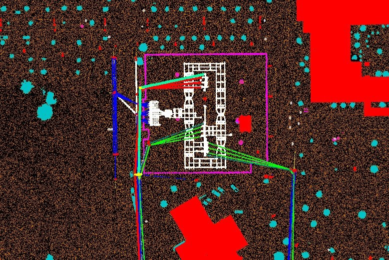
- Power line classification
LiDAR Powerline
Transmission lines need to be regularly inspected, typically annually, according to the local in-country regulations. With the rapid development of civil construction and the increasing demand for electricity in recent years, the market segment of power grid construction has grown significantly. Meanwhile, how to efficiently manage such large-scale power line networks and how to guarantee the reliability of power transmission is becoming increasingly important. The power line management is extremely important as branches and brush encroaching on power lines might cause damages such as short circuits or even fire.
LiDAR technology for Powerline corridor mapping is widely accepted as compared to the conventional techniques. LiDAR technology has proved to be highly accurate and reliable in mapping corridors in complex terrains. We have carried out thousands of linear kilometers of Lidar Transmission line classification over the past few years.
LiDAR Advance Classification
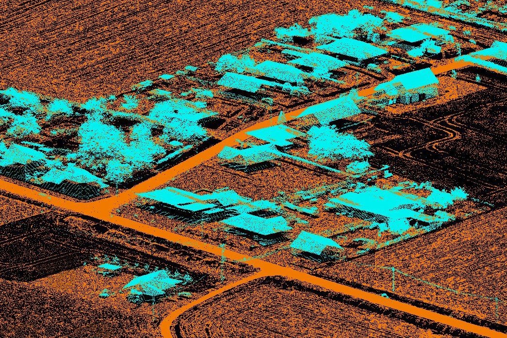
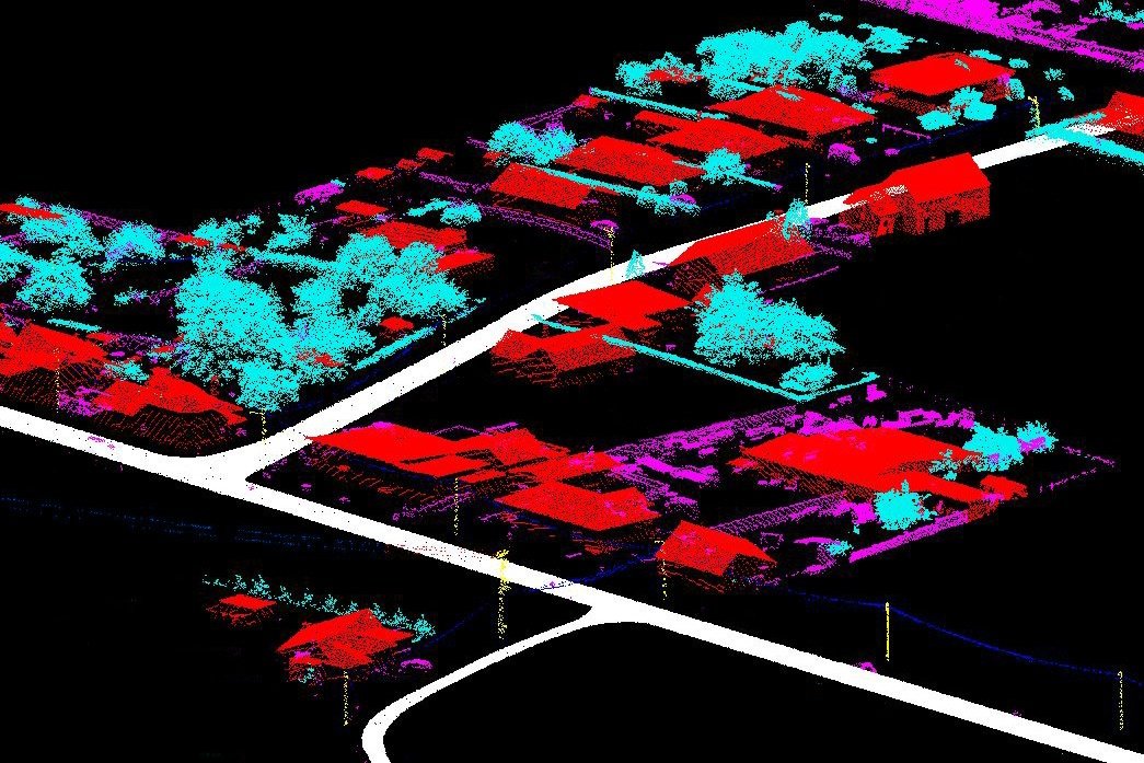
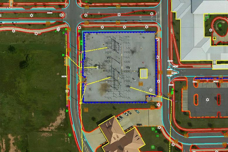
We performed classification of raw data into ground, low, air, vegetation, building, wire, electric tower and water class by using automatic macros. To generate a ‘bare earth’ surface, raw data is edited by automated and manual means to remove surface features.
We have performed several thousand sq kms of LiDAR data processing projects in different geographies of the world. Our LiDAR services are useful for engineering projects like dams, tunnels and roads modeling systems like oil and gas pipelining and some forestry applications.